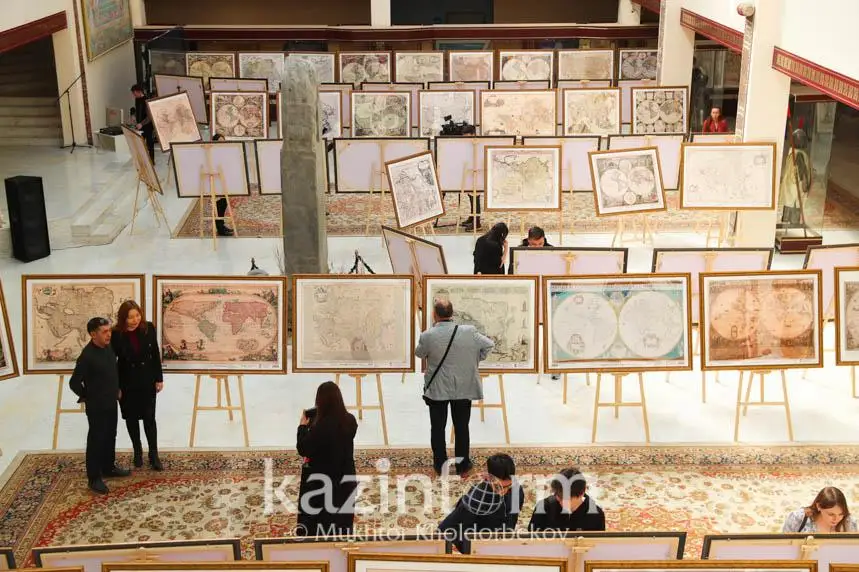
Gallery of ancient maps of Kazakh nationhood of 15-19th centuries opens at Eurasian National University
The results of the years-long scientific research done by Mukhit-Ardager Sydyknazarov, a head of the Institute for Contemporary Studies of the Gumilyev Eurasian National University, were presented to a wider audience.
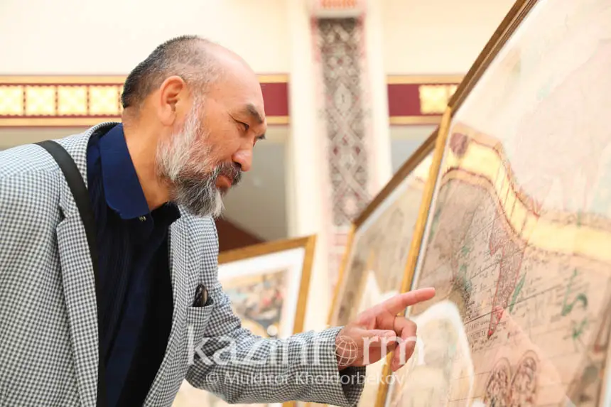
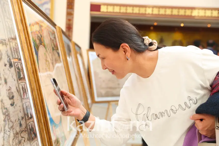
The gallery features 100 copies of ancient European and American maps of Kazakh nationhood of the 15-19th centuries.
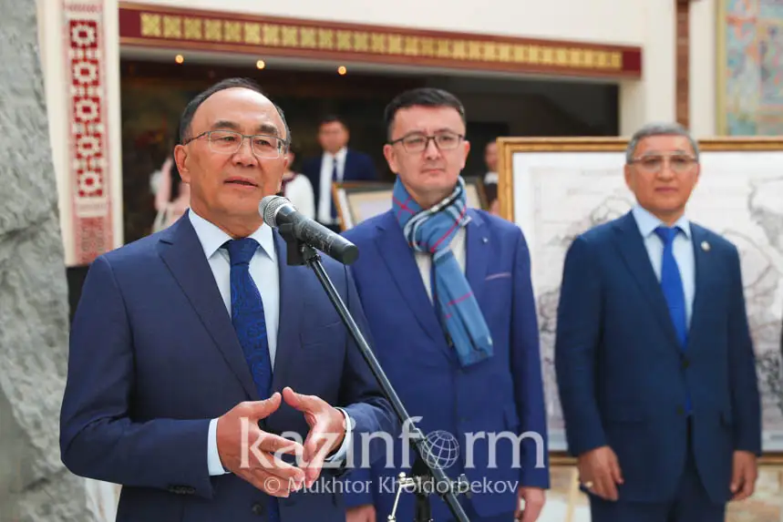
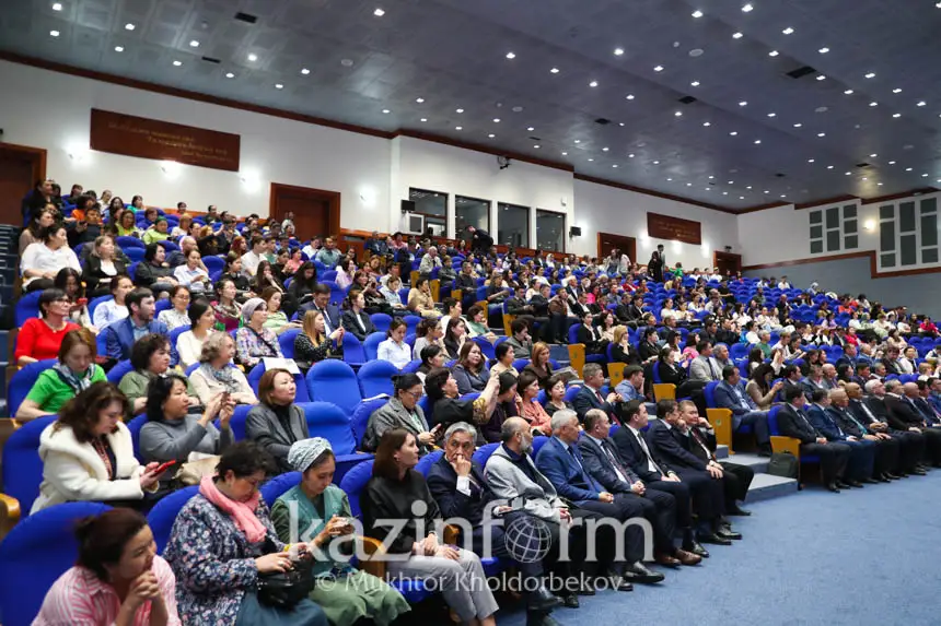
Attending the opening of the gallery were rector of the Eurasian National University Yerlan Sydykov, Science and Higher Education Ministry’s Science Committee Chairman Darkhan Akhmed-Zaki, as well as representatives of the scientific community and students.
«As you know, the Head of State commended the work done by our scholar and pointed out the importance of holding special exhibitions in the regions of the country and abroad so as people could get familiarized with the results of the research… Such galleries of ancient maps of Kazakh nationhood of the 15-19th centuries in Kazakhstani educational facilities will strengthen the knowledge about the continuous nationhood as the State with the long history,» said the ENU rector.

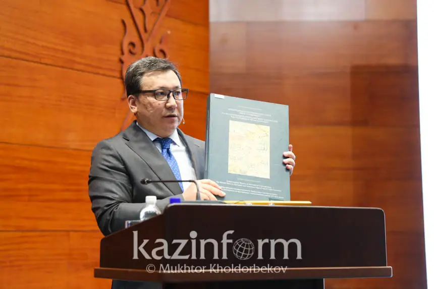
As part of the opening ceremony of the gallery, Mukhit-Ardager Sydyknazarov gave a lecture about his years-long work.
The scholar had conducted research in European national and royal archives, libraries, and museums, as well as cartography centers and libraries of the US for over 17 years. His book «Uninterrupted History of Nationhood in Kazakhstan. The Kazakh State of European and American Map of the XVI-XIX Centuries» includes 130 ancient maps out of 1,500 discovered. It was published in three languages and presented beyond Kazakhstan.

«As of today, the earliest map of the Kazakh state is dated back to the year 1540. It was found in the Swiss town of Basel… On April 12, the Gallery of the ancient European and American maps of Kazakh nationhood of the 15-19th centuries is to be presented in the European Parliament in Brussels,» said the ENU professor.